Roof & Building Thermal Inspection
Thermal and visual inspection of roofs and building envelopes, without putting anyone at height.
Request a QuoteView service
Inspect · Map · Monitor · Document

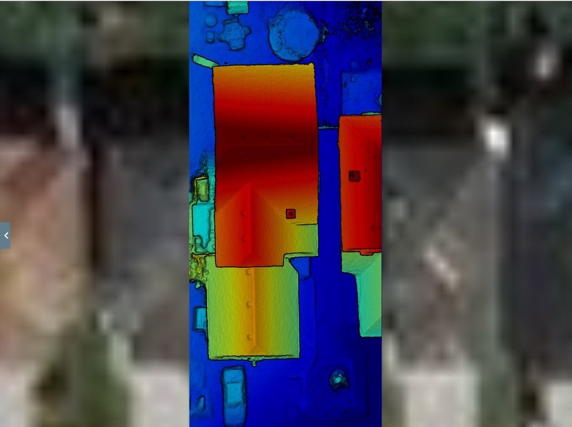
Thermal · RGB · 4K
Thermal, RGB and 4K capture flown to a brief — so you get the one image that answers the question, not a folder of pretty ones.
4K
Photo & video
RGB
Detailed imagery
Thermal
Data capture
$2.5M
CAD insurance
Available services
Thermal and visual inspection of roofs and building envelopes, without putting anyone at height.
Context-rich aerial photography for commercial, acreage and residential property.
Thermal, RGB and 4K capture flown to a defined brief — so the output answers the question that prompted the flight.
Context-rich photography showing a property and its surroundings in one frame — the view that a ground-level photograph cannot give, captured at the altitude and angle the purpose actually needs.
Repeatable capture for inspection and operational records, flown the same way each visit so successive sets can be compared rather than merely collected.
Thermal capture across building envelopes and elevated assets, recording heat signatures that do not appear in ordinary imagery — without staging access equipment or putting anyone at height.
Transport Canada Advanced certification covers built-up areas, controlled airspace and operations close to aerodromes and helipads, day or night, with ParaZero™ parachute recovery for flight over people.
How engagement works
The initial consultation is free, and if flying isn't the right answer for your site we'll say so.
A conversation about what you need to prove, measure or record — including whether flying is the right answer at all. No charge, and no obligation.
Airspace, permissions and site safety are resolved before anyone arrives, including work in controlled airspace or close to aerodromes.
Capture flown to the agreed specification, day or night, coordinated around your operation rather than interrupting it.
Imagery, maps or measurements returned in a usable format, with the capture parameters documented so the work can be repeated.
Start a conversation
Tell us what you need to inspect, map, document or monitor.