Roof & Building Thermal Inspection
Thermal and visual inspection of roofs and building envelopes, without putting anyone at height.
Request a QuoteView service
Inspect · Map · Monitor · Document

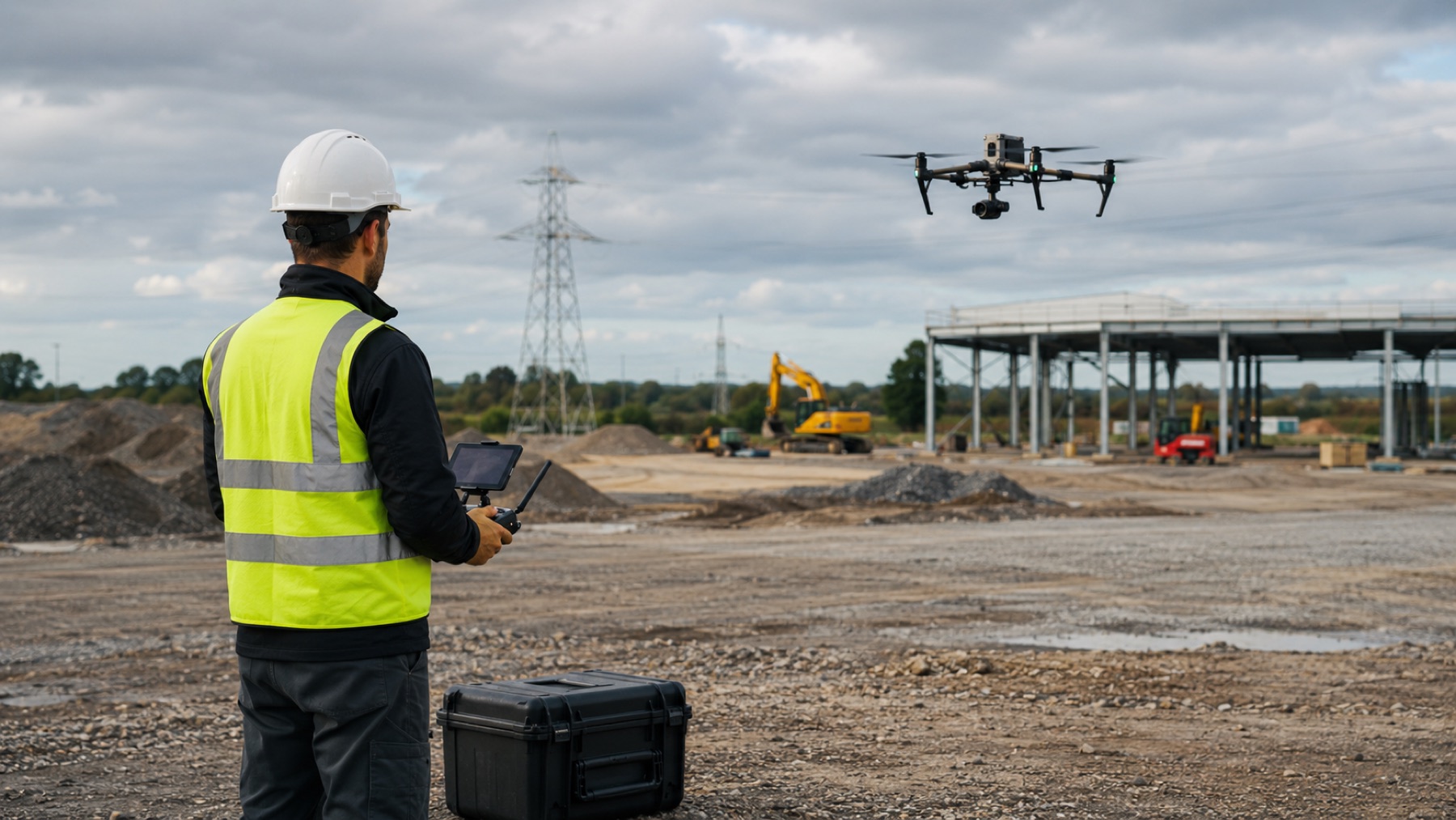
Industries / Construction
Progress you can see from the office, quantities you can rely on, and a documented record of how the site actually looked on any given day.
25+ Years
Manned & unmanned aviation
Transport Canada
Advanced operations certified
FAA Part 107
Licensed for US operations
FAA Part 107 & EASA
Certified for US and European operations
$2.5M Insured
Professional global coverage
Available services
Thermal and visual inspection of roofs and building envelopes, without putting anyone at height.
Context-rich aerial photography for commercial, acreage and residential property.
Orthomosaics and 3D site models delivered in formats your existing tools already read.
Volumetric measurement from aerial capture, without closing an area to a survey crew.
Scheduled repeat capture so site progress is visible and directly comparable over time.
Certified operations in urban areas, controlled airspace and close to aerodromes.
Cinematic 4K aerial video for marketing, stakeholder reporting and documentation.
The operational need
Most construction teams do not have a drone problem. They have a visibility problem, a measurement problem and a record-keeping problem.
Ground-level photos and verbal updates rarely settle a disagreement about what was complete, and when.
Stockpiles and earthworks get eyeballed or measured infrequently, because a proper survey interrupts the site.
Getting eyes on roofs, structures and live areas means working at height, or waiting for equipment and a window.
When a claim, an inspection or a stakeholder question arrives, the visual evidence often is not there.
How we help
Each of these exists to answer one of the needs above—nothing is flown because the equipment happens to allow it.
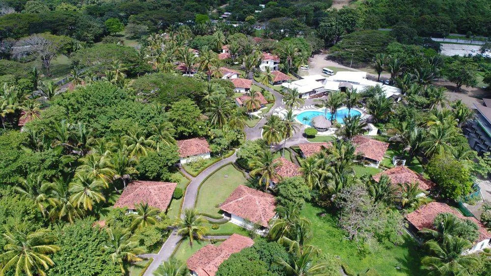
Repeat flights from consistent positions, so successive captures line up and change is genuinely comparable rather than impressionistic.
Orthomosaics and elevation models delivered in formats your existing design and planning tools already read.
Mapping services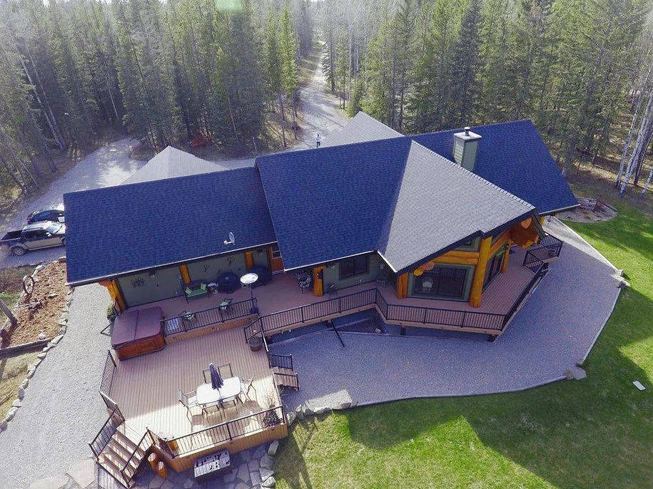
Volumetric measurement from aerial capture, without closing an area or moving plant to make room for a survey crew.
Mapping services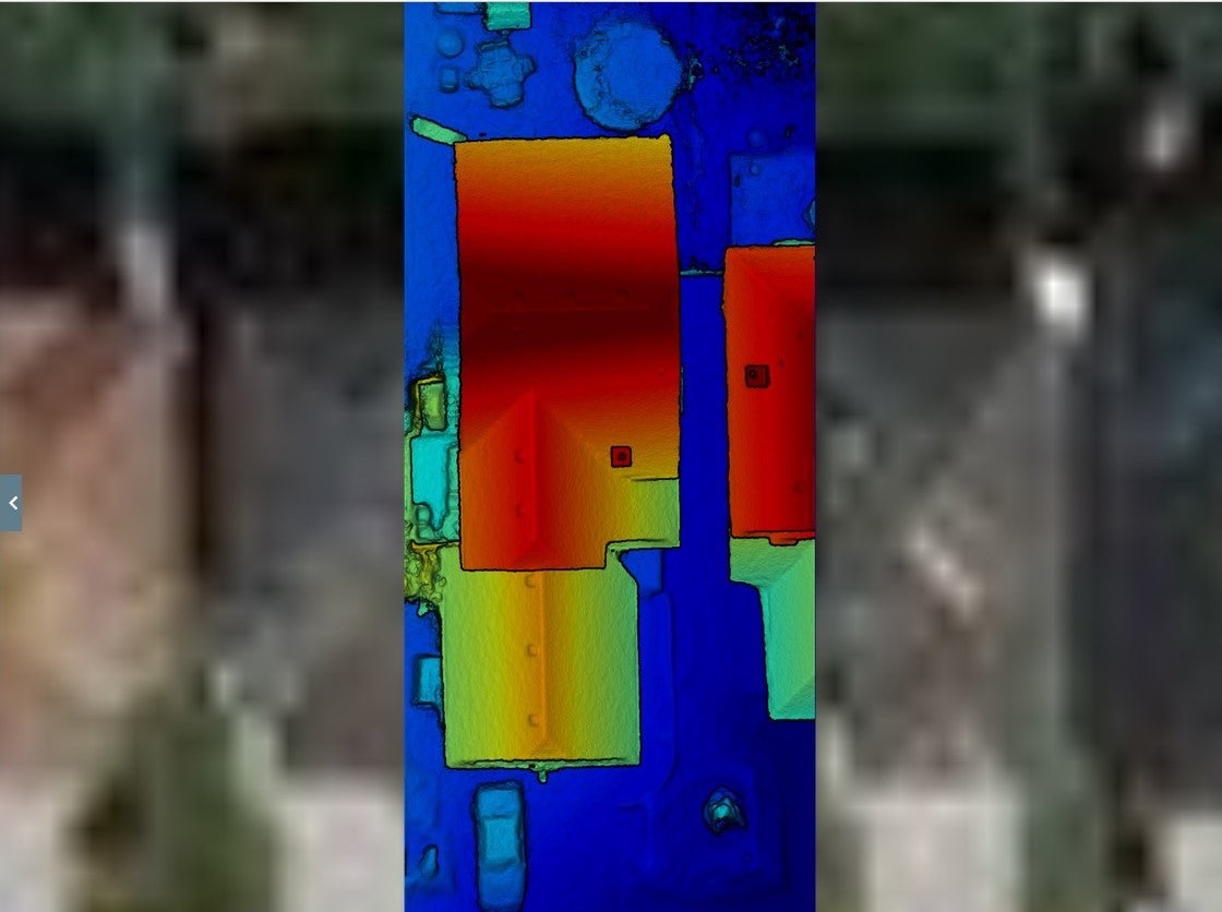
Radiometric capture of roofs, envelopes and electrical plant, showing heat loss, trapped moisture and hot spots that a visual inspection alone cannot surface.
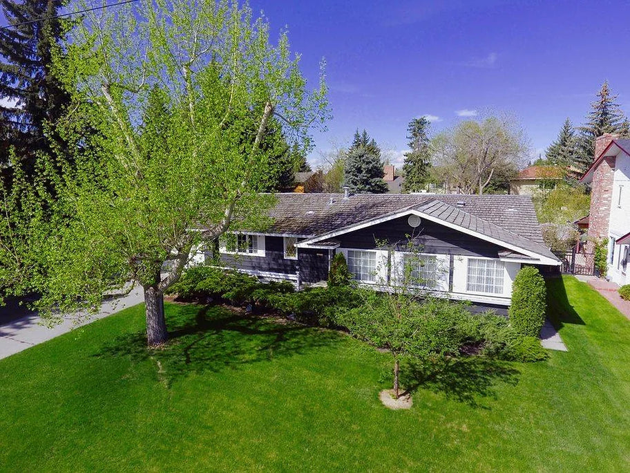
A dated, defensible visual record for reporting, insurers, stakeholders and dispute resolution.
Practical benefits
Fewer people at height
Elevated areas are examined from the air instead of from a ladder, lift or roof edge.
Faster site visibility
A whole site can be covered in a single visit, without staging access equipment.
Comparable records
Consistent capture positions make successive visits directly comparable.
Evidence on file
A dated visual record exists before anyone needs to go looking for one.
These are operational outcomes, not guaranteed savings. What aerial capture is worth on your project depends on your programme, site and existing methods — which is exactly what the initial consultation is for.
How engagement works
A free consultation to establish what you actually need to prove, measure or record—and whether flying is the right answer.
Airspace, permissions, site safety and access are handled before anyone arrives, including operations near aerodromes.
Capture flown to the agreed brief, coordinated around your programme rather than interrupting it.
Imagery, maps or measurements returned in a usable format, with the capture parameters documented.
Why Caswell
Construction sites sit near live airspace, busy public areas and people at work. More than 25 years of manned and unmanned aviation experience is what makes those operations routine rather than exceptional—planned, briefed and flown to the same discipline as any other flight.
Advanced operations certified
Transport Canada certified for urban areas, controlled environments and work near aerodromes.
Insured to $2.5M
Professional coverage, with documentation available for your prequalification process.
Free initial consultation
We will tell you if flying is not the right answer for your site.
Proof
Grant’s drone photos replace aerial imagery by helicopter and plane. He is fantastic to work with, and the customer service and photos are exceptional.
Sue Blanchard
Legacy Public Affairs
Caswell Aviation was professional and provided excellent service. The attention to detail helped capture the exact photos and videos we wanted.
Mike Fricker
Edenbrook Memorial Gardens
Certified, licensed, insured—everything to make the experience flawless. Want drone photography? The decision is now simple.
Mark Mehling
Take Control Marketing
Start a conversation
Tell us what you need to inspect, map, document or monitor.