Mapping Package
Orthomosaics and 3D site models delivered in formats your existing tools already read.
Request a QuoteView service
Inspect · Map · Monitor · Document

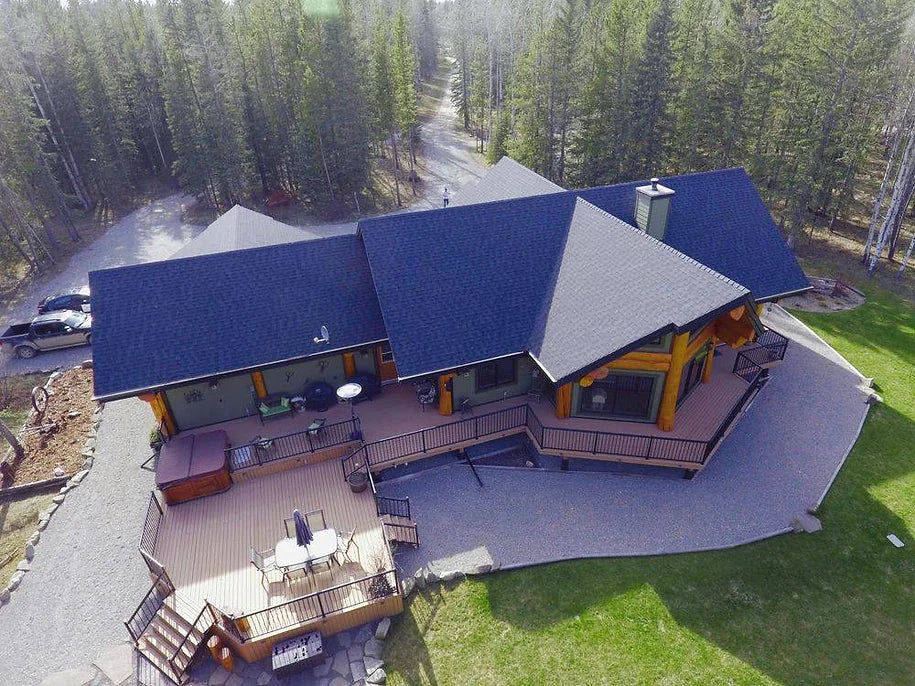
Aerial data solutions
Orthomosaics, 3D models and volumetric measurement — your site as data your team can plan, bill and build from.
3D
Model output
Ortho
Site mapping
Volume
Stockpile measurement
6
Affiliate provinces
Available services
Orthomosaics and 3D site models delivered in formats your existing tools already read.
Volumetric measurement from aerial capture, without closing an area to a survey crew.
Scheduled repeat capture so site progress is visible and directly comparable over time.
Consistent flight lines and recorded parameters, processed into outputs your existing design and planning tools already read.
Define the area, resolution, operating constraints and required output before launch.
Consistent overlapping imagery collected for reliable post-flight processing.
Post-imagery stitching transforms flight data into a coherent site perspective.
Useful visual intelligence for property, construction and material operations.
How engagement works
The initial consultation is free, and if flying isn't the right answer for your site we'll say so.
A conversation about what you need to prove, measure or record — including whether flying is the right answer at all. No charge, and no obligation.
Airspace, permissions and site safety are resolved before anyone arrives, including work in controlled airspace or close to aerodromes.
Capture flown to the agreed specification, day or night, coordinated around your operation rather than interrupting it.
Imagery, maps or measurements returned in a usable format, with the capture parameters documented so the work can be repeated.
Start a conversation
Tell us what you need to inspect, map, document or monitor.