Roof & Building Thermal Inspection
Thermal and visual inspection of roofs and building envelopes, without putting anyone at height.
Request a QuoteView service
Inspect · Map · Monitor · Document

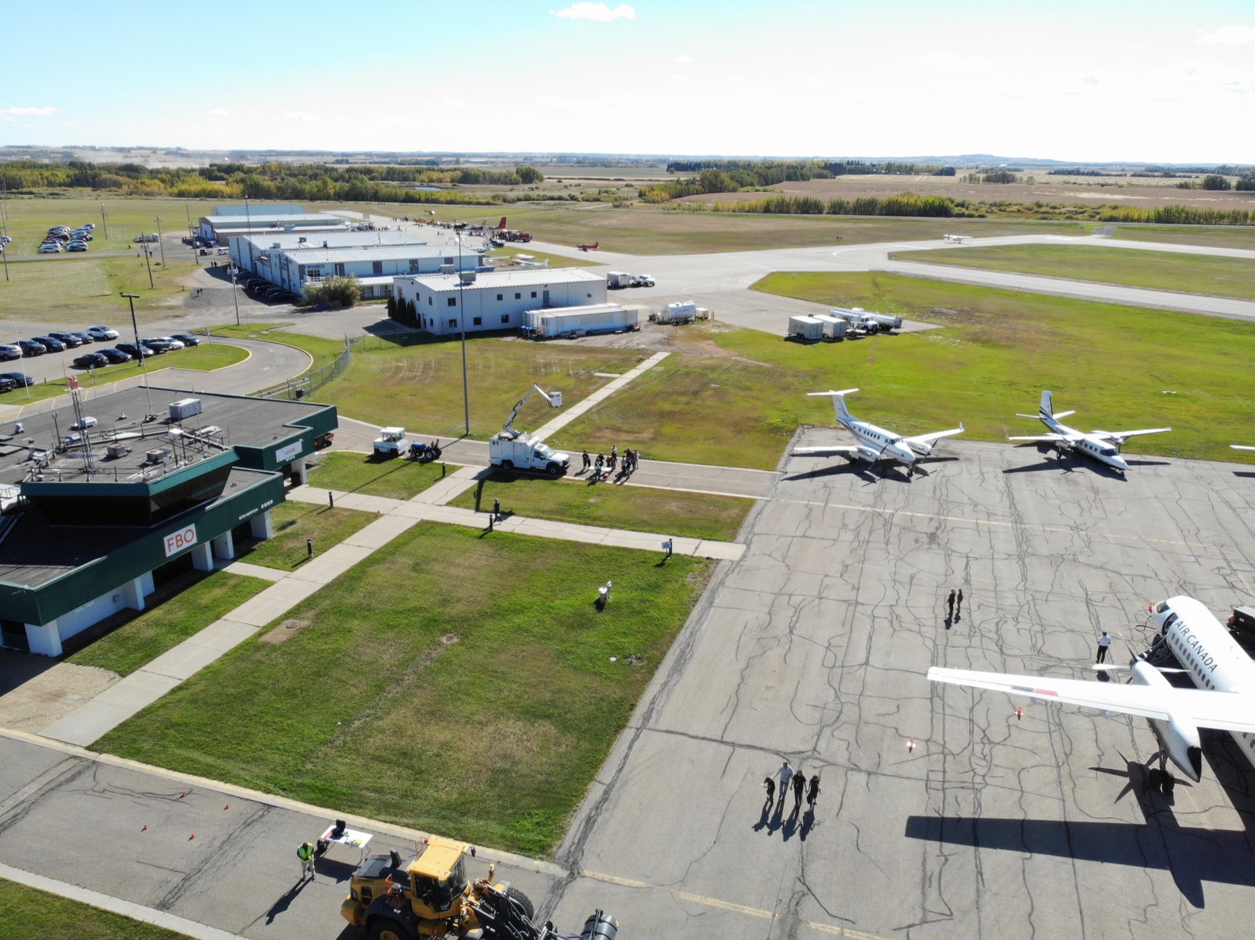
Professional RPAS capability
From data capture to pilot readiness, every engagement is scoped to what you actually need to inspect, map, monitor or document.
25+ Years
Manned & unmanned aviation
Transport Canada
Advanced operations certified
FAA Part 107
Licensed for US operations
FAA Part 107 & EASA
Certified for US and European operations
$2.5M Insured
Professional global coverage
Services
Every engagement is scoped to what you need to inspect, map, monitor or document. Prices are given where they are fixed; everything else is quoted against the brief.
Aerial Intelligence
Thermal and visual inspection of roofs and building envelopes, without putting anyone at height.
Context-rich aerial photography for commercial, acreage and residential property.
Mapping & Stockpile Analysis
Orthomosaics and 3D site models delivered in formats your existing tools already read.
Volumetric measurement from aerial capture, without closing an area to a survey crew.
Scheduled repeat capture so site progress is visible and directly comparable over time.
Professional Drone Operations
Certified operations in urban areas, controlled airspace and close to aerodromes.
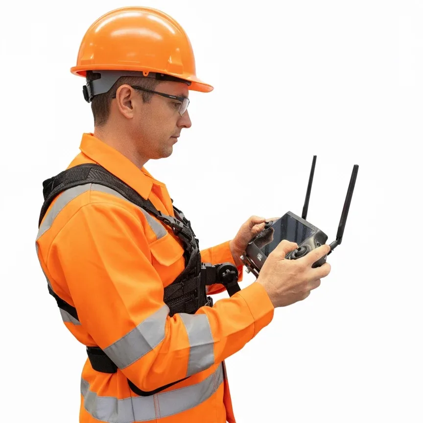
A chest-mounted harness that carries the controller on your torso rather than in your arms.
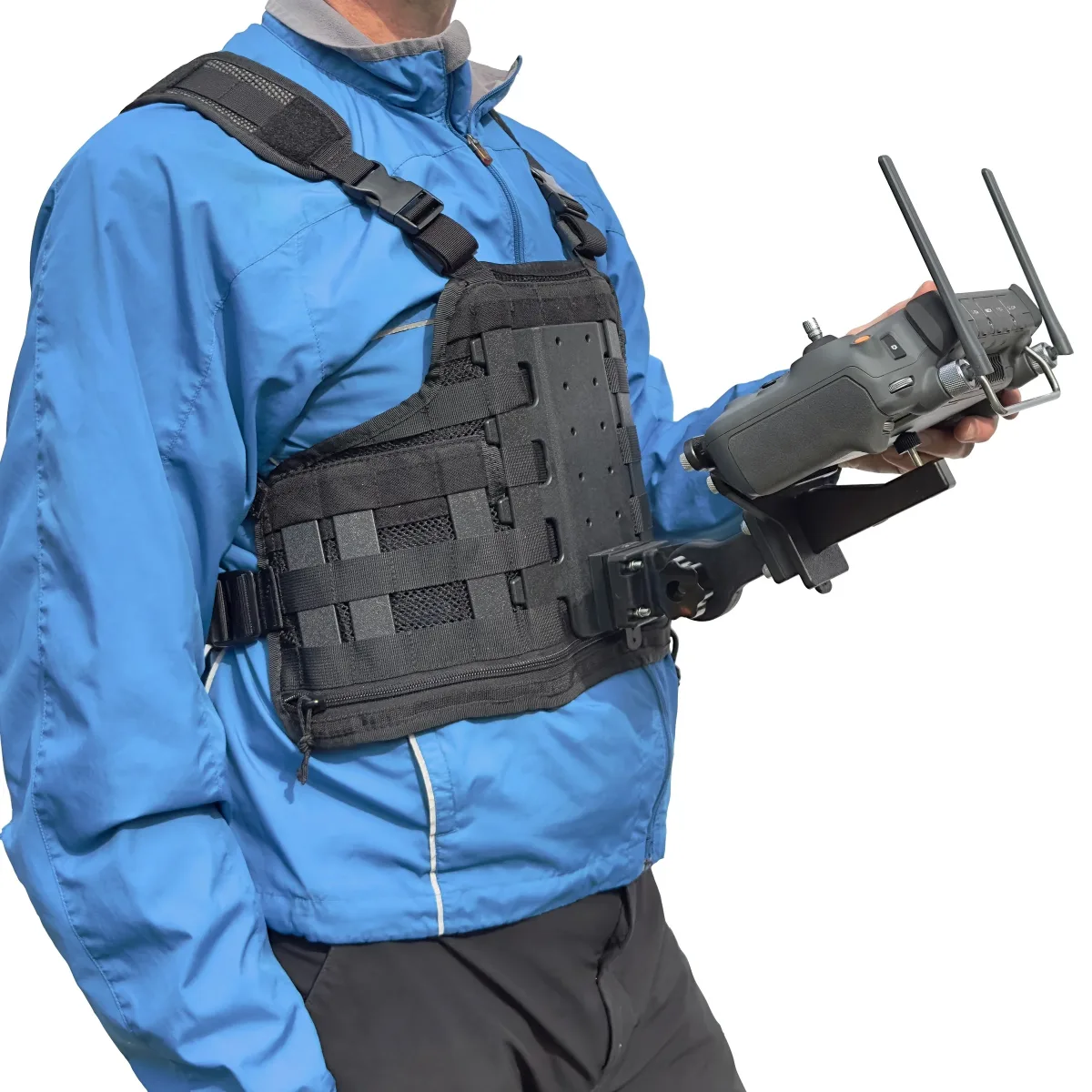
The same chest-mounted harness system, with a bracket cut for DJI controllers.
Photography & Video
Cinematic 4K aerial video for marketing, stakeholder reporting and documentation.
Aerial coverage for venues, courses, gardens and destination marketing.
Start a conversation
Tell us what you need to inspect, map, document or monitor and we'll point you at the right one.