Mapping Package
Orthomosaics and 3D site models delivered in formats your existing tools already read.
Request a QuoteView service
Inspect · Map · Monitor · Document

Industries / Environmental
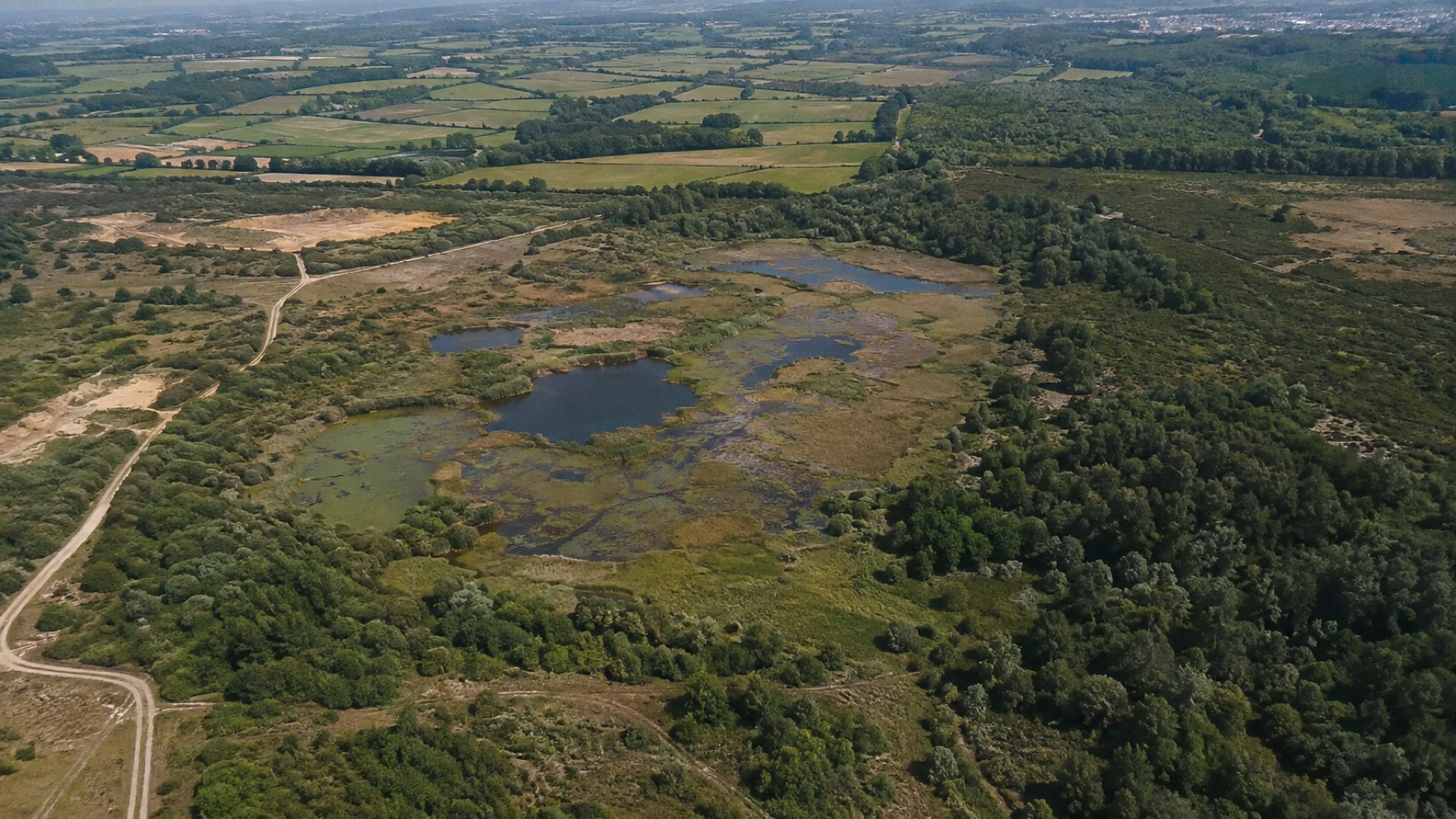
Repeatable capture across sites where ground access is slow, sensitive or seasonal — so change between visits is something you can measure and defend. The same aircraft and sensors also support surveillance, thermal detection and search tasks when a site needs eyes on it now.
Repeat
Capture
Ortho
Site mapping
3D
Model output
$2.5M
CAD insurance
The operational need
Environmental monitoring lives or dies on comparability. If two visits were not captured the same way, the difference between them tells you nothing.
Walking a site is time-consuming, weather-dependent and, on sensitive ground, disruptive in itself.
Access that is straightforward in one season can be impossible in another, so records end up uneven across the year.
Photographs taken from wherever someone happened to stand cannot be laid over each other to show what changed.
Without recorded capture parameters, a survey is an opinion — and opinions are difficult to submit in a report.
Available services
Orthomosaics and 3D site models delivered in formats your existing tools already read.
Certified operations in urban areas, controlled airspace and close to aerodromes.
Aerial coverage for venues, courses, gardens and destination marketing.
Consistent flight lines, consistent altitude, recorded parameters — the same discipline applied every visit so the comparison holds up.
Repeat flights from consistent positions and altitudes, so successive surveys line up and the difference between them is genuinely the site changing rather than the method changing.
Coverage of ground that is slow, seasonal or sensitive to walk, captured from above with minimal physical presence on the site itself.
Orthomosaics, elevation layers and 3D models delivered in standard formats, including volumetric measurement of stockpiles, spoil and extracted material — so the output supports measurement rather than illustration alone.
Capture parameters recorded alongside the imagery, so a survey can be repeated the same way next season and defended when it is reported on.
Aerial overwatch of sites, perimeters and remote assets where a camera on a pole cannot see and a patrol on foot takes too long — day or night, with thermal as well as visual capture.
Thermal capture to locate hot spots, map a fire perimeter or search an area from above, flown in support of the agencies and crews responsible for the response rather than in place of them.
Start a conversation
Tell us what you need to inspect, map, document or monitor.