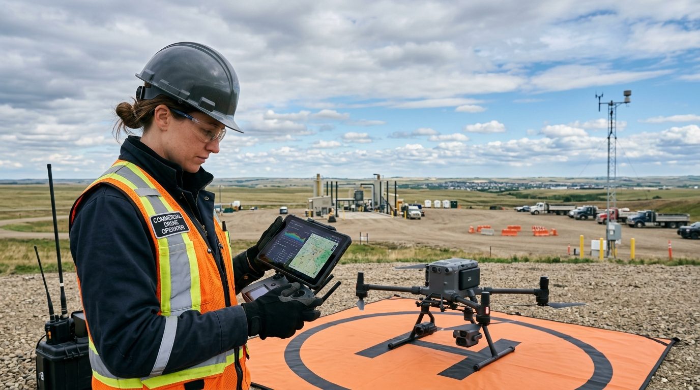
Oct 9, 202611 min read
How to Read Aviation Weather for Canadian Drone Operations
Learn how to decode METARs and TAFs, interpret localized atmospheric risks, and set realistic weather minimums for commercial drone flights in Canada.
Test User
Inspect · Map · Monitor · Document

News & flight deck briefings
Regulation updates, drone training guidance, and practical insights from Caswell Aviation.
Oct 9, 202611 min read
Learn how to decode METARs and TAFs, interpret localized atmospheric risks, and set realistic weather minimums for commercial drone flights in Canada.
Test User
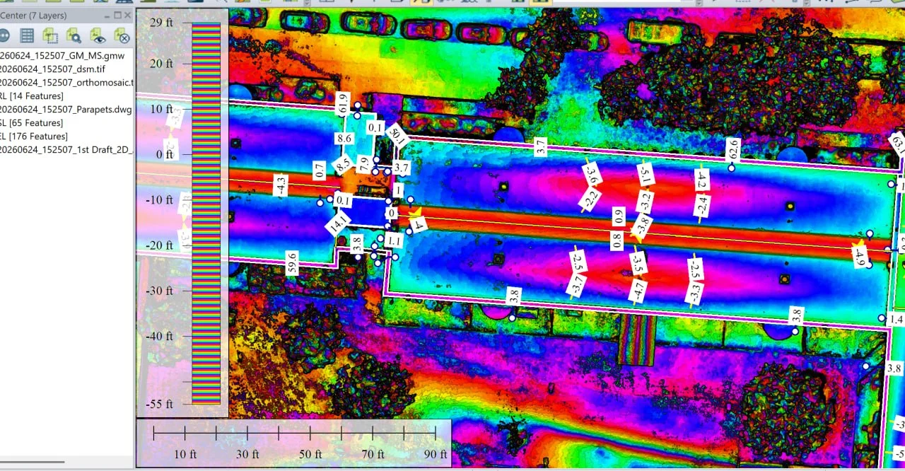
Sep 9, 2026
A drone-based roof survey processed into elevation, slope and drainage-direction layers, showing where water collects and whether it reaches the drains.
Grant Caswell
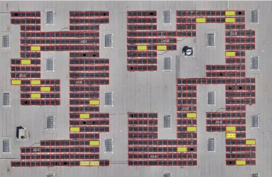
Sep 8, 2026
Drone-captured thermal and orthophoto imagery of a photovoltaic installation, processed into a fully annotated anomaly layer covering every module in the array.
Grant Caswell
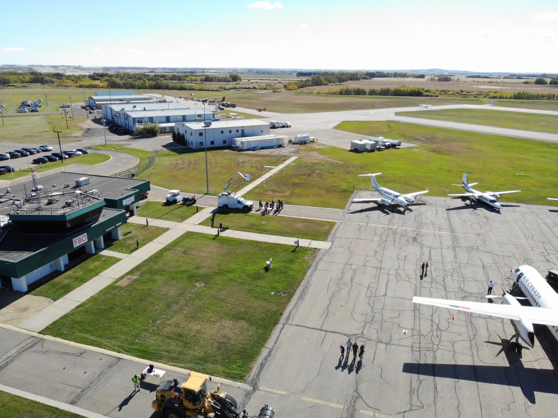
Sep 4, 202613 min read
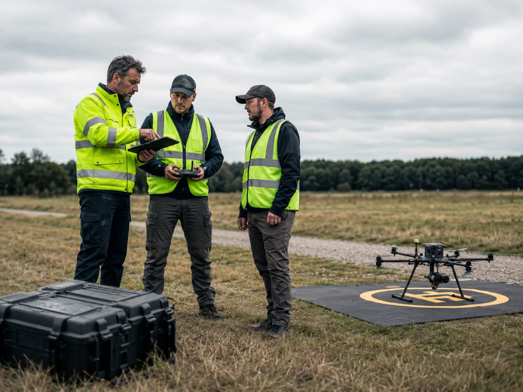
A comprehensive guide to manual camera settings, RAW workflows, ND filters, and dynamic flight manoeuvres to capture high-fidelity aerial imagery.
Test User
Sep 3, 202612 min read
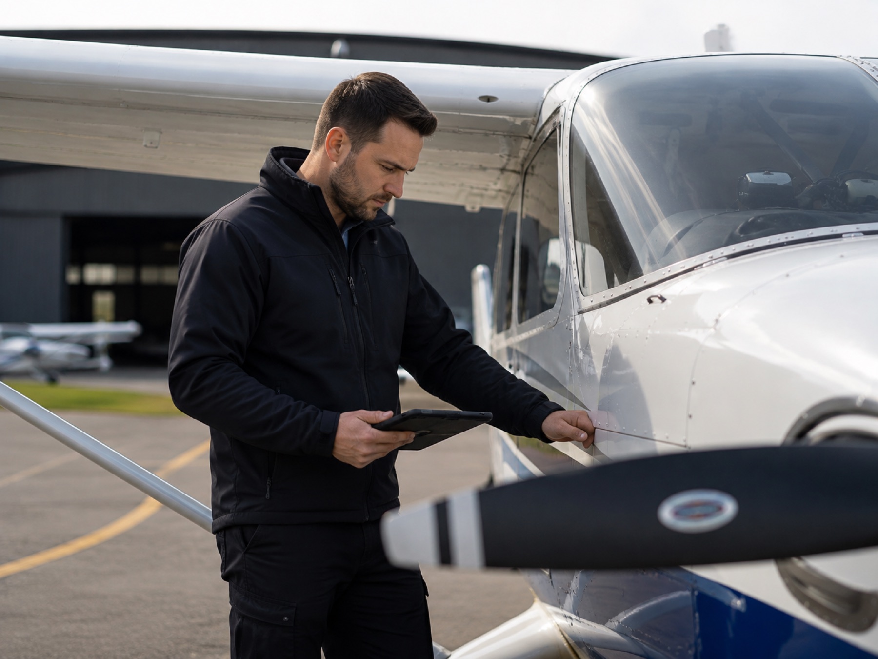
Everything Canadian RPAS pilots need to know about Transport Canada certification, Small Advanced exams, and flight review requirements in 2026.
Test User
Sep 2, 202612 min read
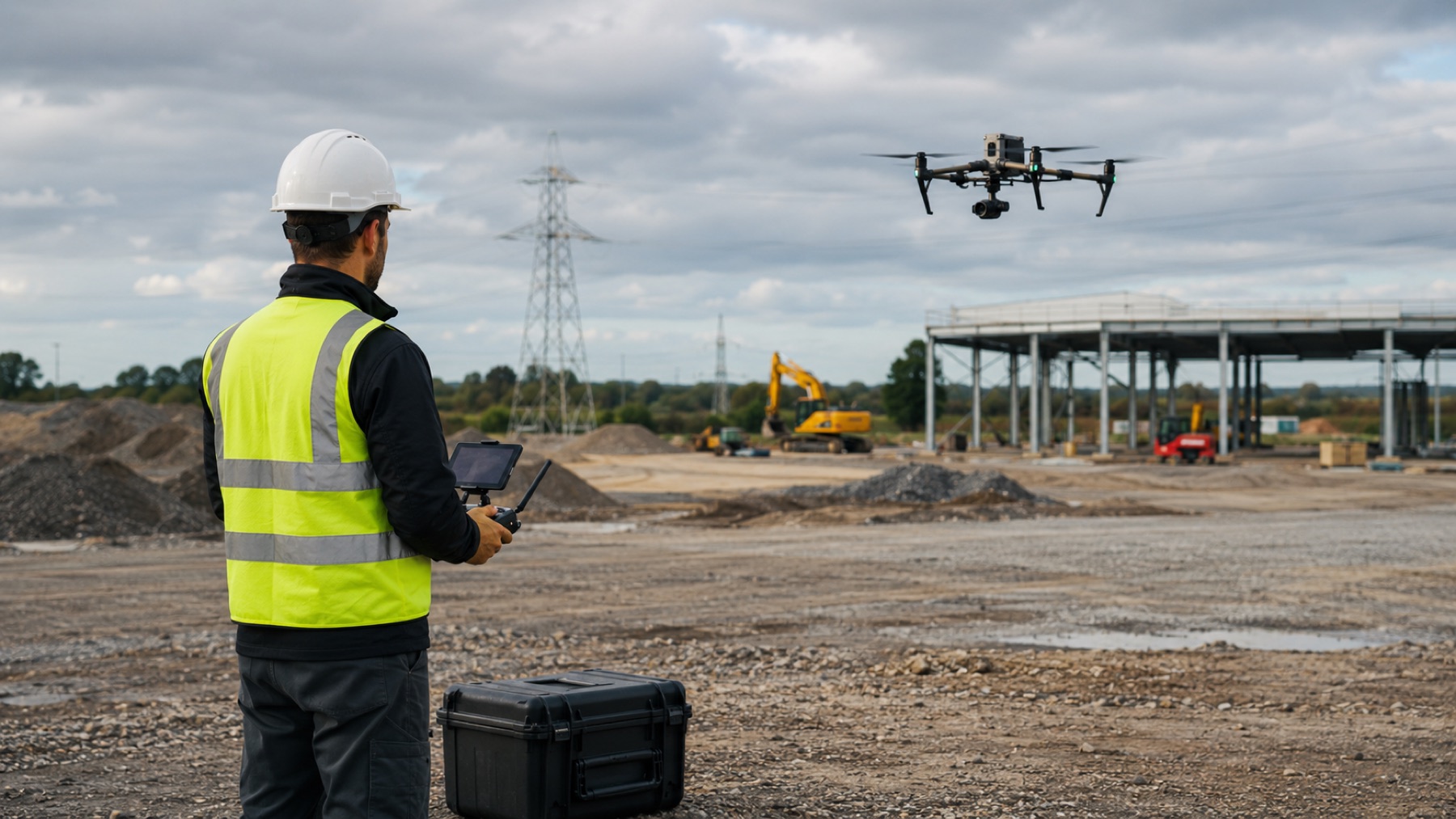
An operational comparison of national aerospace providers versus hands-on, aviation-led commercial RPAS specialists for enterprise operations.
Test User
Sep 1, 202613 min read
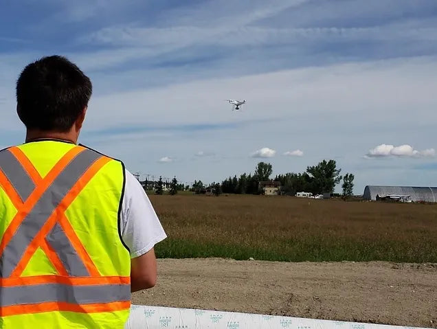
How commercial aerial imaging, progress tracking, and site documentation deliver high-accuracy ground truth for Calgary construction managers.
Test User
Aug 31, 202612 min read
Best practices in standard operating procedures, site risk assessments, and aviation-standard safety cultures for commercial drone operations.
Test User
Aug 30, 202613 min read
An overview of CARs Part IX penalties, regulatory enforcement protocols, and compliance strategies for Canadian RPAS pilots.
Test User
Start a conversation
Tell us what you need to inspect, map, document or monitor.