
How to Read Aviation Weather for Canadian Drone Operations
October 9, 2026Test User11 min read
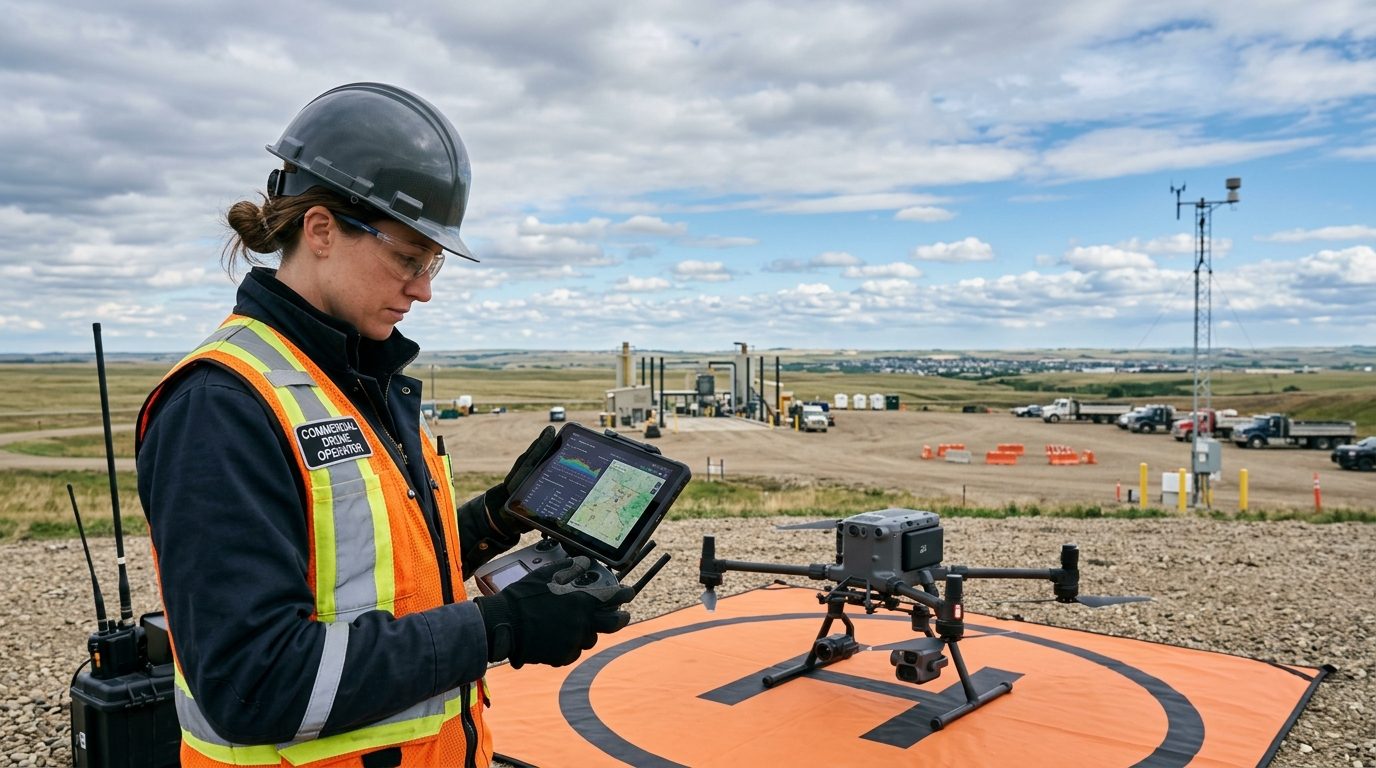
Consumer weather apps on your smartphone tell you whether you need an umbrella, but they do not tell you whether an aircraft can safely launch. Every professional aviator learns early in ground school that surface temperature and a headline wind speed provide only a fraction of the atmospheric picture. For remotely piloted aircraft systems, local microclimates, density altitude, wind shear, and freezing levels dictate whether a mission succeeds or ends in an expensive incident.
Under Canadian Aviation Regulations Part IX, RPAS operators bear full responsibility for ensuring weather conditions remain suitable throughout their planned flight. While basic weather reports offer rough guidance, professional crews rely on standard aeronautical meteorological data. Deciphering official aerodrome forecasts and surface reports gives you the exact parameters needed to make defensive go and no-go flight decisions.
In this guide, we walk you through reading aviation weather reports, decoding METAR and TAF strings, evaluating invisible risks such as wind gradients and thermal turbulence, and creating reliable standard operating minimums for commercial flight operations across Canada.
Key takeaways
Mastering aeronautical weather data turns educated guesses into defensible operational decisions.
- Consumer weather smartphone apps lack critical aviation metrics such as cloud base heights, visibility markers, altimeter settings, and upper wind speeds.
- A METAR provides an observed snapshot of past conditions at a specific aerodrome, whereas a TAF provides an official aerodrome forecast valid over a specified future window.
- Transport Canada mandates a visual line-of-sight flight minimum of three statute miles visibility and clear of cloud, but platform limitations often require higher operational thresholds.
- Wind speed at 60 metres or 120 metres above ground level can double the velocity recorded on the surface due to boundary layer drag and surface friction.
- Establishing rigid company weather minimums protects your crew from client pressure and reduces hull loss risks during sudden frontal passages.
The limits of consumer weather applications
Most commercial drone pilots start out checking popular mobile apps to check for precipitation and wind gusts. While convenient, consumer forecasts smooth out microclimates and rely on generalized computer models that update infrequently. They report wind at ground level, offer broad daily averages, and present cloud cover as vague percentages. If an app reports partly cloudy skies and ten kilometre-per-hour winds, it gives you no insight into cloud base altitude, dew point convergence, or local pressure differentials.
Aviation weather reporting exists because pilots require precise, standardized, and timely physical measurements. Stations situated at aerodromes across Canada report absolute visibility in statute miles, specify cloud layers by their base height above aerodrome level, and record barometric pressure calibrated to sea level. These measurements directly influence your aircraft performance, sensor calibration, battery runtimes, and radio command links.
When our flight crew prepares for an inspection job near industrial infrastructure or within controlled airspace, we look directly at NAV CANADA aviation weather feeds. Relying solely on a consumer app in an aviation environment is like navigating with an artistic tourist map instead of a surveyed aeronautical chart. It may give you the general flavour of the terrain, but it leaves you blind to immediate hazards.
- Consumer apps update at broad intervals, often missing sudden thermal shifts or squall lines.
- Cloud bases are rarely displayed with absolute base altitudes in feet above ground level.
- Wind measurements on commercial apps fail to account for boundary layer turbulence and vertical wind gradients.
- Aviation reports provide real-time barometric pressure necessary to understand true relative aircraft altitudes.
Decoding METARs for surface observations
A METAR, which stands for Meteorological Aerodrome Report, is an internationally standardized observation of weather conditions taken at an airport or automated reporting station. In Canada, human observers or Automated Weather Observation Systems produce these reports hourly, or more frequently as a SPECI when conditions change rapidly. Learning to parse the coded string takes a small amount of practice, but it quickly becomes second nature.
Consider a sample report recorded at Calgary International Airport: CYYC 101800Z 27015G25KT 15SM FEW040 BKN090 12/M02 A2992 RMK CU1AC5 SLP145. Breaking this down into its individual components reveals a complete picture of the local environment. CYYC identifies the airport code. The second group, 101800Z, identifies the observation date and time: the tenth day of the month at 1800 Zulu, or Coordinated Universal Time.
The wind group, 27015G25KT, tells you the wind is blowing from 270 degrees true at 15 knots, with gusts reaching 25 knots. Converting knots to kilometres per hour means multiplying by 1.852, revealing sustained winds around 28 kilometres per hour and gusts approaching 46 kilometres per hour. Visibility follows: 15SM indicates 15 statute miles of clear forward vision, comfortably exceeding regulatory requirements.
Cloud cover is reported in eighths of sky coverage, known as oktas. FEW040 indicates a few clouds covering one to two oktas with bases at 4,000 feet above ground level, while BKN090 shows broken cloud cover of five to seven oktas at 9,000 feet. The temperature and dew point group, 12/M02, indicates an ambient temperature of 12 degrees Celsius and a dew point of minus 2 degrees Celsius. Finally, A2992 provides the altimeter setting of 29.92 inches of mercury.
How do you spot fog and carb-icing risks from temperature and dew point?
The spread between ambient temperature and dew point is one of the most critical safety indicators in a METAR. When the temperature drops to match the dew point, relative humidity reaches 100 percent, causing atmospheric moisture to condense into fog, mist, or low stratus clouds.
If an early morning report shows a temperature of 4 degrees Celsius and a dew point of 3 degrees Celsius, the air is nearly saturated. A slight drop in morning temperature will rapidly produce radiation fog, dropping horizontal visibility below legal limits and depositing moisture onto aircraft cameras, motors, and cooling intakes.
What do the remarks section and automated codes reveal?
At the end of a Canadian METAR, the remarks section preceded by RMK provides detailed insight into specific cloud forms and sea-level pressure. You might see automated weather codes such as AUTO, meaning the observation was taken entirely by instrument without human oversight.
Watch closely for indicators like BLSN for blowing snow, WS for wind shear, or TCU for towering cumulus. If an automated station includes CC at the end, it denotes cloud ceiling estimation, alerting you to treat base altitudes with caution.
Interpreting TAFs for forward planning
While a METAR looks backward at what has already been measured, a Terminal Aerodrome Forecast projects what conditions are expected to occur within a five-nautical-mile radius of an airport runway complex. Canadian TAFs typically cover periods of 12 to 30 hours and are updated every six hours. If you are scheduling a commercial flight operations window for mapping or infrastructure inspection later in the afternoon, the TAF is your primary planning instrument.
TAFs use the same coding conventions as METARs for wind, visibility, and sky condition, but they structure the data around specific operational forecast blocks. A forecast begins with the aerodrome identifier, issue time, and overall validity window, followed by baseline expected conditions. Subsequent lines introduce forecast changes using specific transition headers.
Recognizing how and when weather changes occur across your operating window allows you to schedule critical flight profiles before squall lines or lowering cloud decks arrive on site. It also provides clear documentation when explaining to an impatient site superintendent why a flight must be rescheduled.
What is the difference between BECMG, TEMPO, and FM?
A TAF uses transition codes to signal changes over time. An FM group indicates a rapid and permanent change from a specific hour and minute. Everything preceding the FM code is superseded by the new line.
The BECMG code signals a gradual transition expected over a two-hour period. Conditions will steadily shift from the initial baseline to the parameters listed after the BECMG group.
In contrast, TEMPO denotes temporary fluctuations lasting less than one hour at a time and covering less than half of the total forecast period. For drone operators, a TEMPO group indicating low ceilings or heavy gusts requires strict defensive planning, as those hostile conditions can arrive without warning.
How should operators treat PROB groups?
In Canadian TAFs, you will occasionally see a PROB30 or PROB40 group, indicating a 30 or 40 percent probability of an event occurring, such as a thunderstorm or localized convective burst.
Commercial drone operations should treat a PROB30 group with extreme caution. While a commercial airliner has the fuel reserves and radar instrumentation to divert around a sudden thunderstorm cell, an RPAS has nowhere to go when localized downdrafts and high-voltage static fields manifest over the landing zone.
Understanding microclimates and upper-level winds
A common mistake made by new drone pilots is assuming that wind conditions at shoulder height match what the aircraft encounters at 90 or 120 metres above ground level. Because buildings, trees, and ground topography create friction, surface winds are almost always slower and more turbulent than winds aloft. Once your aircraft clears the mechanical boundary layer, wind speed increases significantly.
In aviation, this phenomenon is governed by wind gradients and shear. Over smooth, open farmland, wind speed climbs steadily with altitude. In an urban core or near deep river valleys, such as the Bow River corridor in Calgary, surface winds might register at 15 kilometres per hour while an aircraft hovering near the 400-foot ceiling encounters continuous 45-kilometre-per-hour laminar winds.
High wind speeds aloft draw down battery reserves at accelerated rates as the flight controller fights to hold position. If your return-to-home profile directs the drone to climb to 100 metres before flying home into a 50-kilometre-per-hour headwind, battery depletion can outpace forward airspeed, forcing a premature landing short of your recovery zone.
- Consult Graphic Area Forecasts or Upper Wind Forecasts, known as FD charts, to evaluate wind speeds at standard flight levels.
- Plan your return flight path to travel downwind whenever possible, preserving battery reserves for approach and landing.
- Calculate your aircraft top speed against the expected aloft wind to guarantee a minimum positive ground speed of at least 20 kilometres per hour during return-to-home manoeuvres.
- Expect severe mechanical turbulence downwind of large industrial buildings, cliff faces, and forested tree lines.
Setting defensible standard operating minimums
Transport Canada sets the legal baseline for RPAS operations under Visual Line of Sight: you must maintain continuous line of sight, remain clear of cloud, and preserve at least three statute miles of ground visibility. However, legal minimums are not safe operational limits for every aircraft or every industrial mission. Professional organizations write strict standard operating procedures that reflect the true operational limits of their specific platforms and sensor payloads.
Manufacturer specifications must form the hard ceiling of your company weather policy. If an enterprise platform carries an IP55 ingress protection rating and a maximum wind resistance rating of 12 metres per second, your standard operating limit should not sit at 12 metres per second. Sensible operators establish operational buffers, restricting missions when sustained winds cross 9 metres per second or when gusts cross 11 metres per second.
Documenting these limits within your operations manual protects your flight crew from external pressure. When a general contractor or production director insists on getting an aerial view despite incoming weather, a professional pilot points to unambiguous, predetermined company weather limits rather than engaging in subjective debate.
- Establish minimum cloud base clearance to ensure visual line of sight is never compromised by low-hanging scud or stratus layers.
- Set maximum wind and gust thresholds tailored to the specific weight, motor authority, and frontal area of each platform in your fleet.
- Define minimum operating temperatures to avoid lithium-polymer battery voltage sag and cold-induced plastic embrittlement.
- Enforce strict precipitation rules, barring flights in freezing drizzle or active rain unless operating an airframe explicitly rated and certified for wet-weather service.
Elevating your operational discipline
Reading aeronautical weather reports is a hallmark of genuine aviation discipline. By replacing rough mobile predictions with verified METARs, forward-looking TAFs, and upper-air analysis, you position your RPAS operations alongside the rest of Canada's civil aviation network. You fly with predictable margins, safeguard valuable client payloads, and make defensible go and no-go calls every time you arrive on site.
If you are ready to expand your operational knowledge, advance your credentials, or build standard operating procedures for your organization, connect with our team. Caswell Aviation offers comprehensive training courses and flight reviews in Calgary to help you fly with complete confidence.
Common questions
- Where can Canadian drone pilots access official METAR and TAF reports?
- Pilots can access official METARs and TAFs directly through the NAV CANADA Aviation Weather Web Site. Third-party aeronautical flight planning tools also pull these official feeds, providing reliable, real-time weather information for any licensed aerodrome across the country without consumer app filtering.
- What are the legal Transport Canada weather minimums for VLOS drone flights?
- Under the Canadian Aviation Regulations Part IX, visual line-of-sight flights require a minimum flight visibility of three statute miles and continuous horizontal and vertical clearance from cloud. You must never operate within cloud layers or under ceilings that obscure visual contact with the aircraft.
- How do cold Canadian winter temperatures affect drone battery performance?
- Sub-zero temperatures reduce electrochemical activity inside lithium-polymer batteries, causing sudden voltage drops under motor load. Batteries must be kept warm at approximately 20 degrees Celsius prior to takeoff, flight times should be derated by 30 to 40 percent, and flights should cease if cell temperatures drop below operating limits.
- How far away from an aerodrome can a METAR be considered accurate?
- A METAR reflects surface conditions within the immediate vicinity of the reporting aerodrome, generally up to five nautical miles. In flat terrain, reports can provide a good baseline for sites 15 to 20 kilometres away, but local topography and thermal activity can create divergent microclimates.
- What is density altitude and why does it matter to RPAS operators?
- Density altitude is pressure altitude corrected for non-standard temperature. On hot summer days in higher elevation regions like Calgary, thin air reduces motor thrust and aerodynamic lift. The drone must spin its propellers faster to remain airborne, increasing power draw and significantly shortening total flight endurance.
Start a conversation
Have a project in mind?
Tell us what you need to inspect, map, document or monitor.