Commercial Aerial Video Production
Cinematic 4K aerial video for marketing, stakeholder reporting and documentation.
Request a QuoteView service
Inspect · Map · Monitor · Document

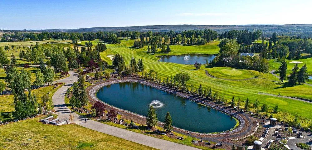
Commercial imagery
Commercial aerial photography and 4K video, planned around the story you are telling rather than captured and sorted afterwards.
4K
Photo & video
RGB
Detailed imagery
Day
Operations
$2.5M
CAD insurance
Available services
Cinematic 4K aerial video for marketing, stakeholder reporting and documentation.
Aerial coverage for venues, courses, gardens and destination marketing.
Planned around the story being told, with permissions and access handled before the shoot rather than negotiated on the day.
Cinematic sequences for organisations, venues and destination marketing — shot lists agreed in advance so the capture matches the intended use rather than being sorted afterwards.
Property and premises shown in full context, for marketing, records or planning, with 4K stills and video captured on the same visit.
Imagery produced for board reporting, stakeholder updates and site records — the same capture discipline as inspection work, framed for an audience rather than an inspector.
Permissions, access and shot list settled before the shoot, so the day itself is spent flying rather than negotiating.
How engagement works
The initial consultation is free, and if flying isn't the right answer for your site we'll say so.
A conversation about what you need to prove, measure or record — including whether flying is the right answer at all. No charge, and no obligation.
Airspace, permissions and site safety are resolved before anyone arrives, including work in controlled airspace or close to aerodromes.
Capture flown to the agreed specification, day or night, coordinated around your operation rather than interrupting it.
Imagery, maps or measurements returned in a usable format, with the capture parameters documented so the work can be repeated.
Start a conversation
Tell us what you need to inspect, map, document or monitor.