Advanced Drone Operations (Day & Night)
Certified operations in urban areas, controlled airspace and close to aerodromes.
Request a QuoteView service
Inspect · Map · Monitor · Document

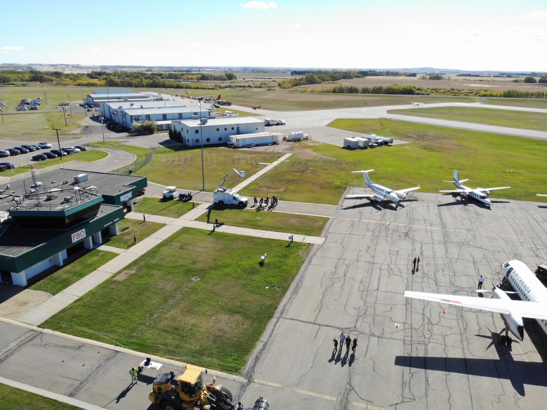
Professional RPAS capability
Urban areas, controlled airspace, close to aerodromes, day or night. The work other operators have to turn down.
25+
Years in aviation
TC
Advanced certified
$2.5M
CAD insurance
Day/Night
Operations
Available services
Certified operations in urban areas, controlled airspace and close to aerodromes.
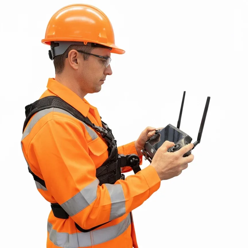
A chest-mounted harness that carries the controller on your torso rather than in your arms.
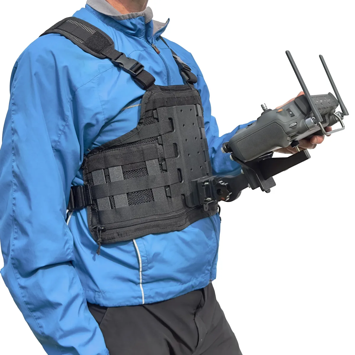
The same chest-mounted harness system, with a bracket cut for DJI controllers.
Transport Canada Advanced certification, $2.5M CAD cover and ParaZero™ parachute recovery — the combination that makes restricted work possible.
Certified for urban areas, controlled environments and operations close to aerodromes.
Efficient visual access to roofs, buildings, construction sites and difficult environments.
Airspace, permissions and site safety handled before anyone arrives on site.
Practical support for the equipment professional drone operators depend on.
How engagement works
The initial consultation is free, and if flying isn't the right answer for your site we'll say so.
A conversation about what you need to prove, measure or record — including whether flying is the right answer at all. No charge, and no obligation.
Airspace, permissions and site safety are resolved before anyone arrives, including work in controlled airspace or close to aerodromes.
Capture flown to the agreed specification, day or night, coordinated around your operation rather than interrupting it.
Imagery, maps or measurements returned in a usable format, with the capture parameters documented so the work can be repeated.
Start a conversation
Tell us what you need to inspect, map, document or monitor.