Mapping · Inspection
Roof slope and drainage analysis
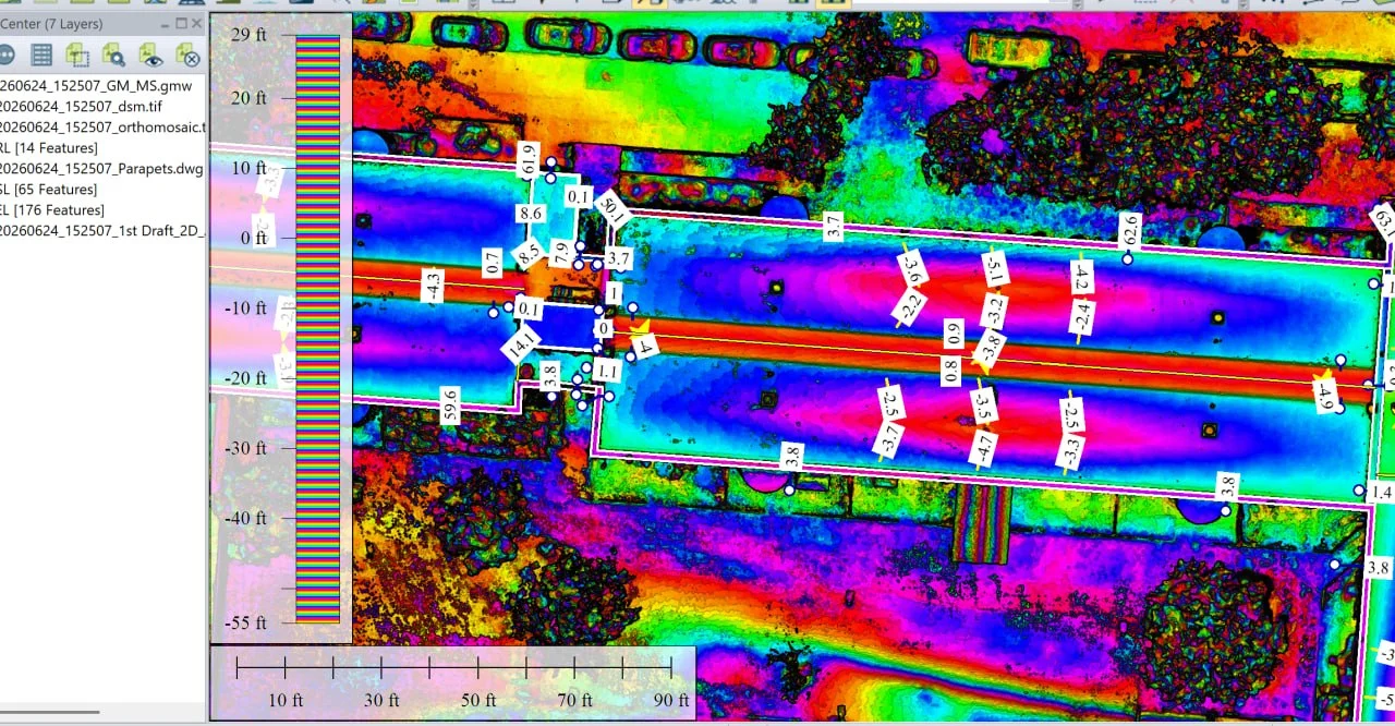
A low-slope commercial roof surveyed and processed into elevation, slope and drainage-direction layers, showing where water collects and whether it reaches the drains.
Read the case studyInspect · Map · Monitor · Document

Caswell Aviation / Professional RPAS Operations
Inspection, mapping and site monitoring delivered to aviation standards, giving you accurate evidence to plan, verify and decide with confidence. Backed by 25+ years of airline management experience.
25+ Years
Manned & unmanned aviation
Transport Canada
Advanced operations certified
FAA Part 107
Licensed for US operations
FAA Part 107 & EASA
Certified for US and European operations
$2.5M Insured
Professional global coverage
What we enable
Four things every site owner needs, and one operator who can deliver all of them.
Examine elevated, confined or hazardous areas without putting people at height, on your schedule rather than around access equipment.
Turn a site into measurable data your team can plan and work from, instead of estimating around.
Capture a site repeatedly and consistently, so change over time is visible and comparable rather than anecdotal.
Hold a defensible visual record for reporting, stakeholders, insurers and dispute resolution.
Construction Drone Solutions
Progress you can see from the office. Quantities you can bank on. A dated record of exactly how the site looked.
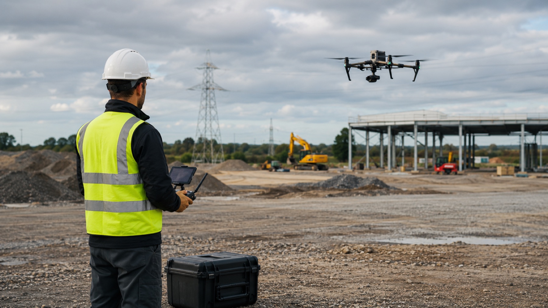
Repeat flights from consistent positions, so successive captures line up and change is genuinely comparable.
Orthomosaics, elevation models and volumetric measurement, without closing an area to a survey crew.
What you receive
Other industries
Construction is our primary focus today. These pathways follow the same planning and safety discipline.
Explore SolutionsCapabilities
Every flight answers a specific question. Nothing is captured because the equipment happens to allow it.
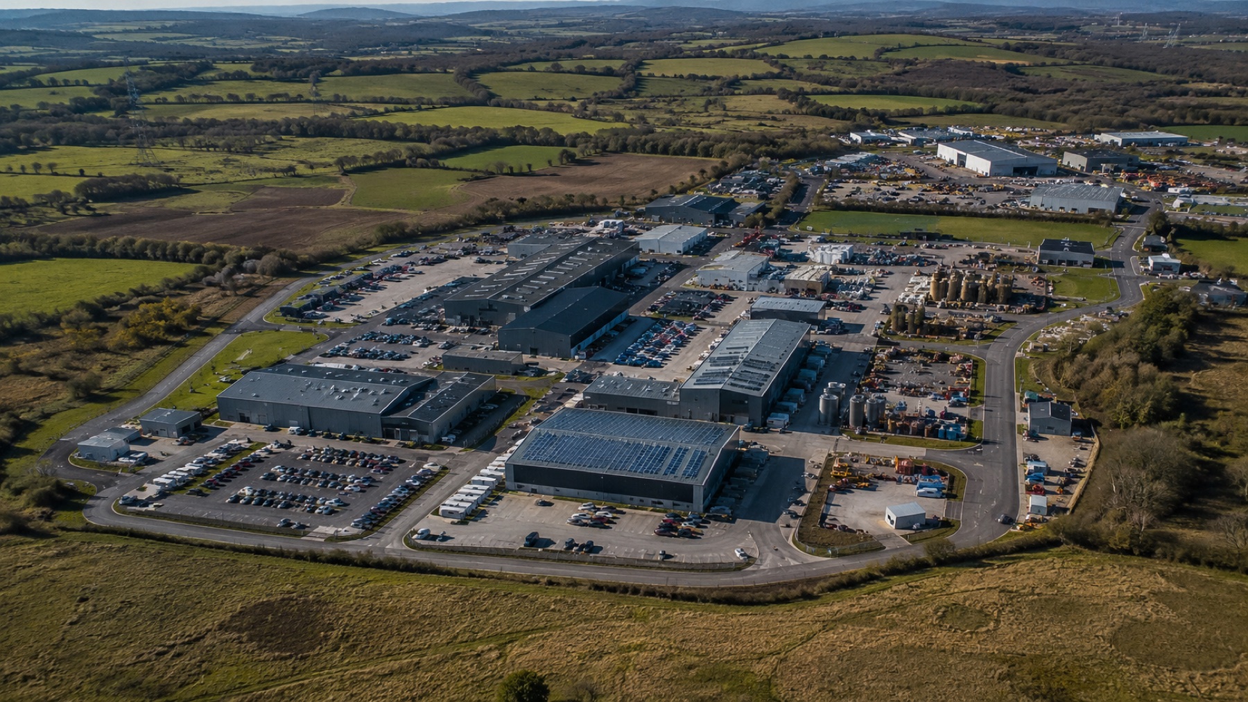
Thermal, RGB and 4K capture flown to a defined brief, so the output answers a specific operational question.
Orthomosaics, 3D models and volumetric measurement processed into formats your existing tools can consume.
Explore Solutions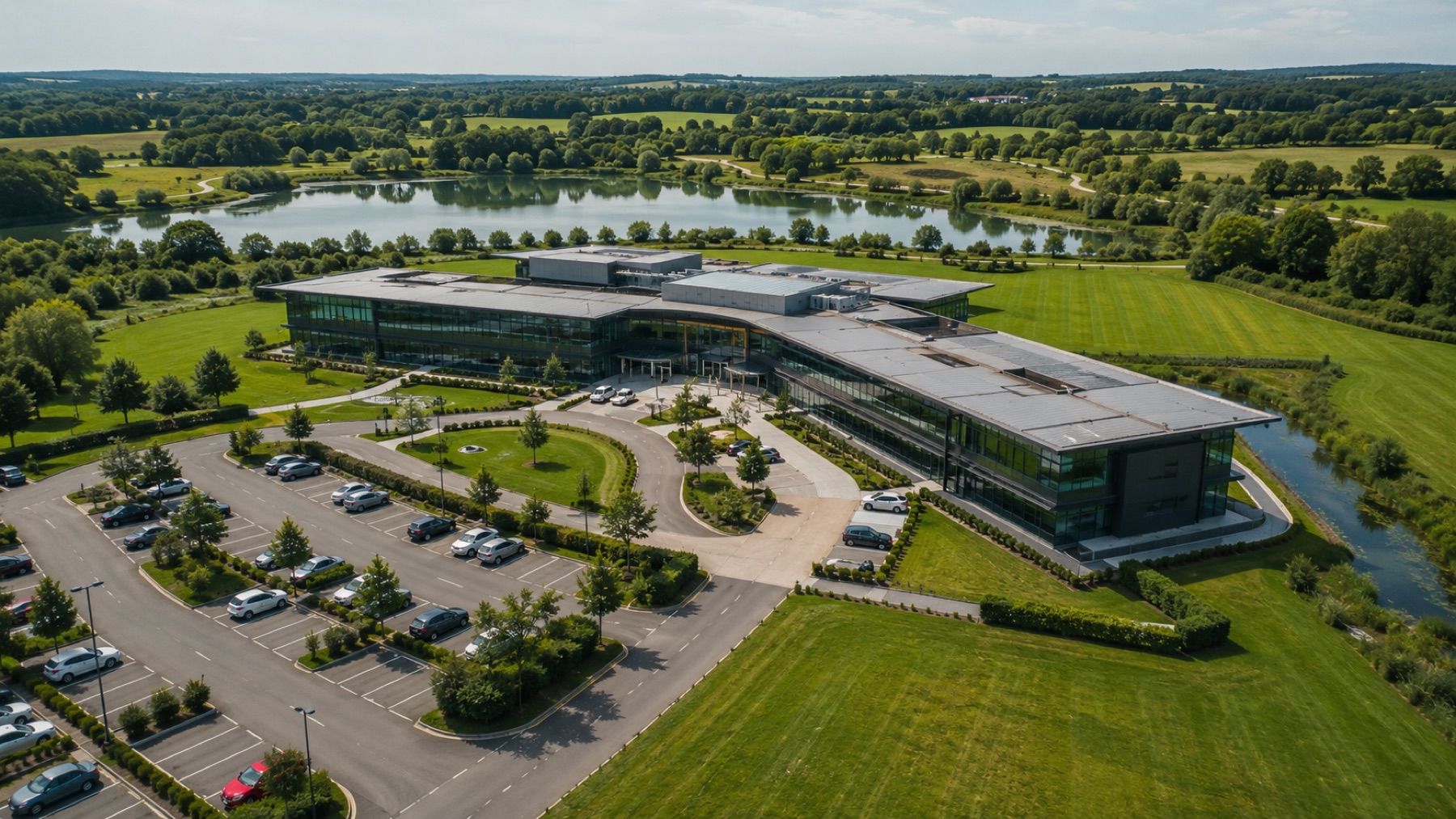
Advanced operations in urban areas, controlled airspace and close proximity to aerodromes, day or night.
Explore Solutions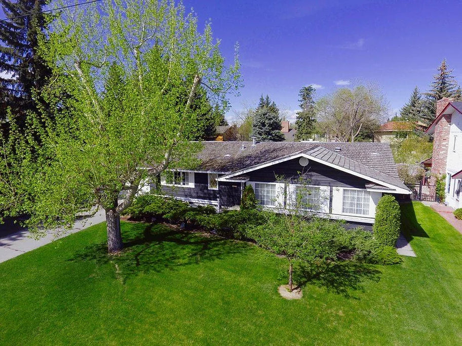
Commercial imagery for marketing, stakeholder reporting and property documentation.
Explore SolutionsHow Caswell works
No procurement theatre. You will know exactly what happens before committing to anything.
Understand what needs to be inspected, mapped, monitored or documented.
Agree location, scope, outputs and operational requirements.
Caswell plans and conducts the flight professionally.
Provide the agreed imagery, mapping, measurements or documentation.
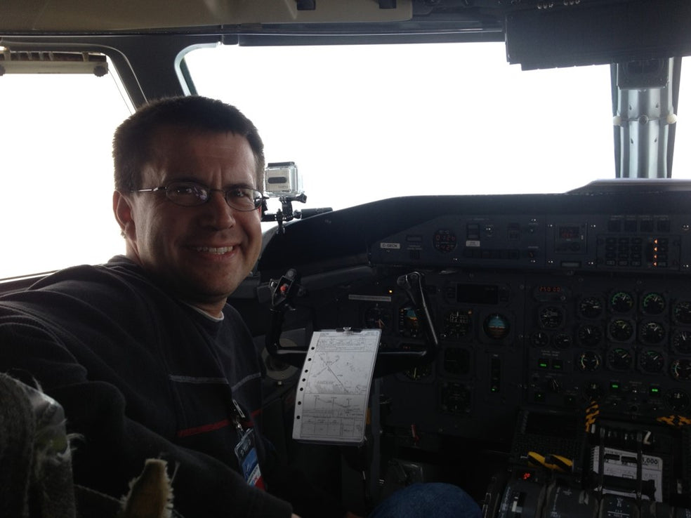
Founder
Grant Caswell
Why Caswell
Caswell Aviation is an experienced aviation operator using drone technology professionally—not simply a drone operator. More than 25 years of manned and unmanned flying shapes how every job is planned, briefed and flown.
25+ years in aviation
Manned and unmanned experience applied to every mission.
Transport Canada, FAA Part 107 & EASA
Advanced operations certified in Canada, licensed for US operations, and EASA certified.
Insured to $2.5M, day & night capable
Professional coverage, with documentation available for prequalification.
Proof
Clients return for the same reasons: professional conduct, technical knowledge and an all-in approach.
Grant’s drone photos replace aerial imagery by helicopter and plane. He is fantastic to work with, and the customer service and photos are exceptional.
Sue Blanchard
Legacy Public Affairs
Caswell Aviation was professional and provided excellent service. The attention to detail helped capture the exact photos and videos we wanted.
Mike Fricker
Edenbrook Memorial Gardens
Certified, licensed, insured—everything to make the experience flawless. Want drone photography? The decision is now simple.
Mark Mehling
Take Control Marketing
Selected commercial work
Mapping · Inspection
A low-slope commercial roof surveyed and processed into elevation, slope and drainage-direction layers, showing where water collects and whether it reaches the drains.
Read the case study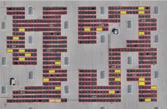
Thermal · Inspection
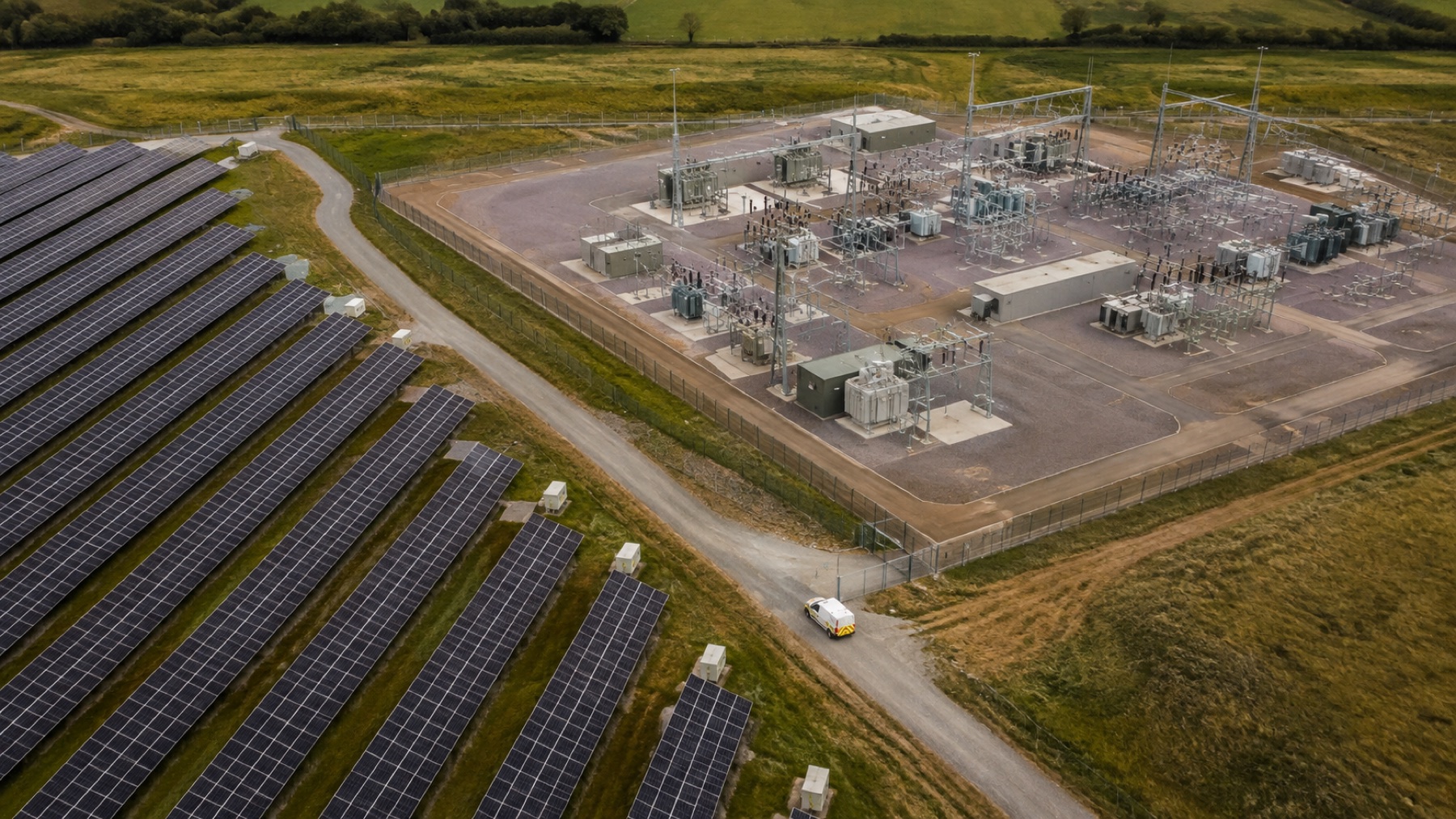
Thermal and orthophoto capture of a photovoltaic installation, processed into an annotated layer classifying every faulty module by anomaly type.
Read the case study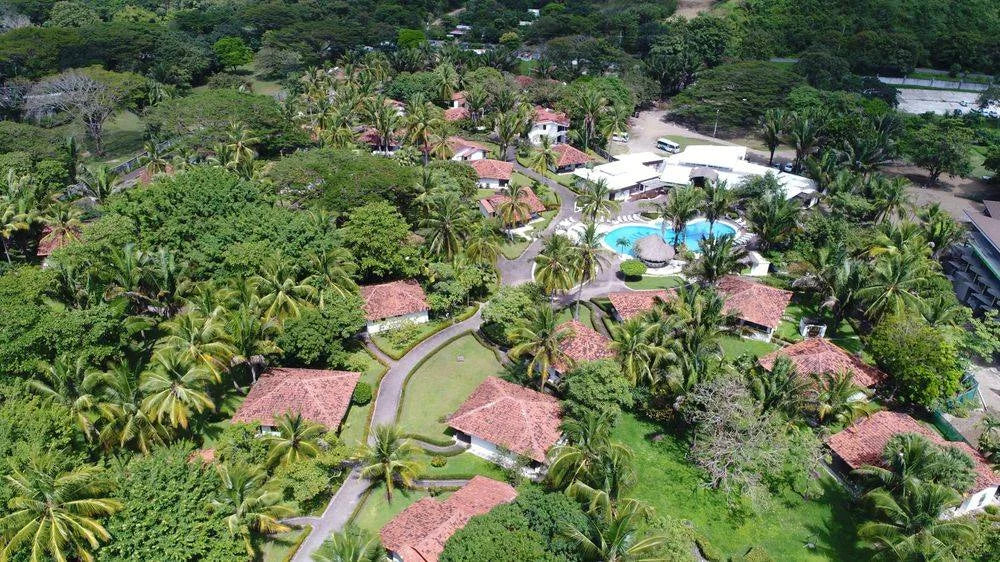
Mapping
Mapping pass across a resort property to support site planning and presentation.
Mapping and thermal analysis imagery courtesy of GIS-Point.
Practical instruction
Online & in-person, Canada
For individual pilots
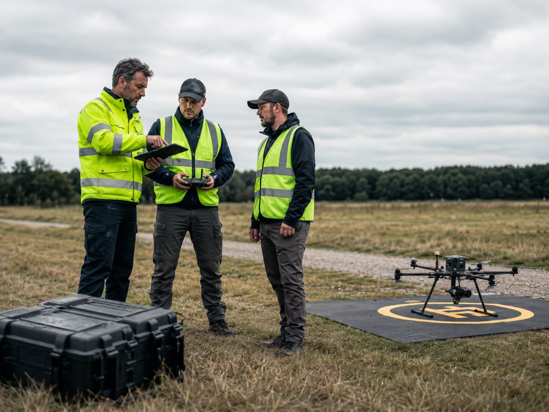
A separate journey for pilots and in-house teams: ground knowledge, practical airmanship and flight reviews, delivered by someone who has flown commercially for decades.
View TrainingFlight deck briefings
Oct 9, 202611 min read
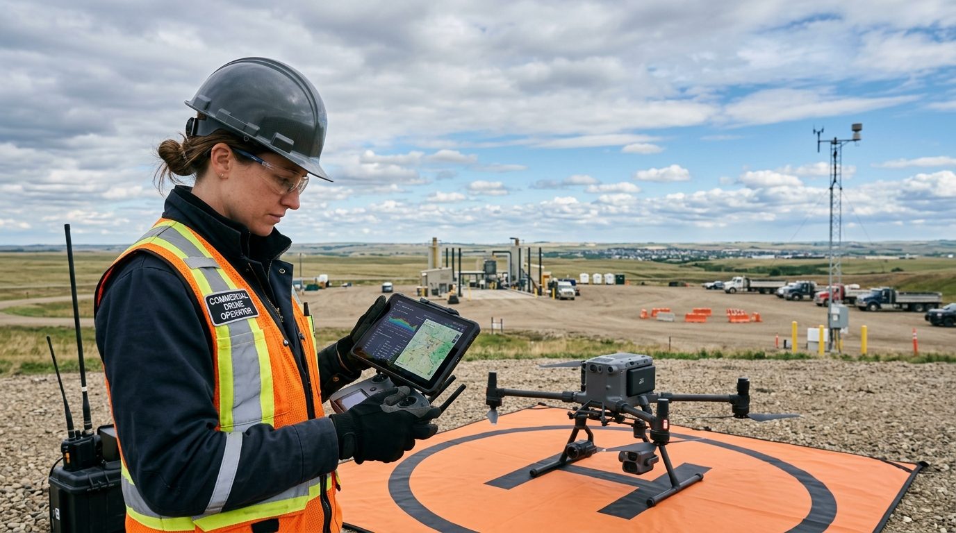
Learn how to decode METARs and TAFs, interpret localized atmospheric risks, and set realistic weather minimums for commercial drone flights in Canada.
Test User
Sep 9, 2026
A drone-based roof survey processed into elevation, slope and drainage-direction layers, showing where water collects and whether it reaches the drains.
Grant Caswell
Sep 8, 2026
Drone-captured thermal and orthophoto imagery of a photovoltaic installation, processed into a fully annotated anomaly layer covering every module in the array.
Grant Caswell
Start a conversation
Tell us what you need to inspect, map, document or monitor.