
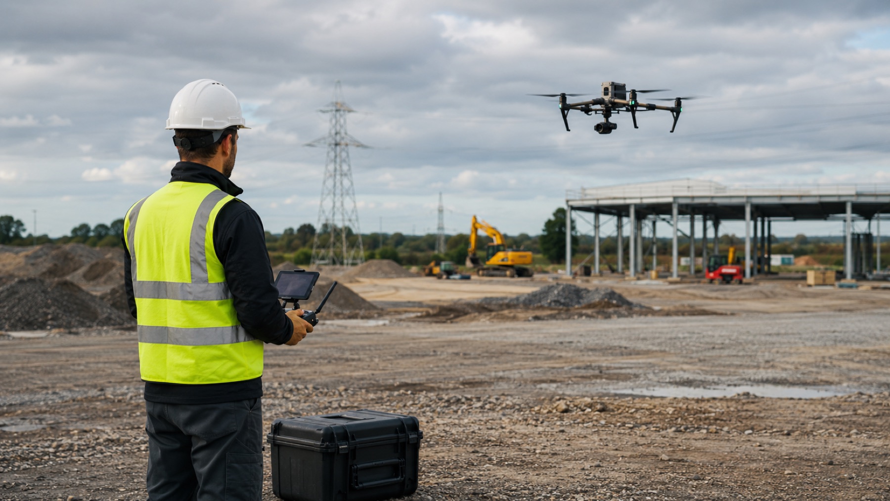
Measuring a stockpile from the air is not a matter of photographing it. It is a survey task that happens to use a camera, and the difference shows up entirely in whether the resulting number is something you can put in front of a quantity surveyor.
Overlapping photographs become geometry
The aircraft flies a planned pattern so that every part of the pile appears in many photographs from different positions. Software matches common points between those images to reconstruct where the camera was and, from that, the three-dimensional shape of the surface. Overlap is not a quality setting; it is the raw material the reconstruction is built from.
A volume needs a base to be measured against
Volume is the space between the reconstructed surface and a defined base plane. That base has to be decided deliberately — the surrounding ground, a surveyed pad level, or a previous survey. Two honest measurements of the same pile can differ simply because they were computed against different bases, which is why the base should be agreed before the flight and kept consistent between visits.
Scale has to come from somewhere
Photographs alone establish shape, not size. Real-world scale comes from the positioning system on the aircraft and, where the tolerance demands it, from surveyed ground control points placed around the site. Which of those is appropriate depends on the accuracy the number needs to support.
Consistency is what makes the series useful
A single volume is a snapshot. The value arrives when the same site is flown the same way on a repeating cycle, so that movement between surveys is genuine change on the ground rather than a change in method. Flight lines, altitude, base plane and processing settings all belong in the record alongside the number itself.
Start a conversation
Have a project in mind?
Tell us what you need to inspect, map, document or monitor.